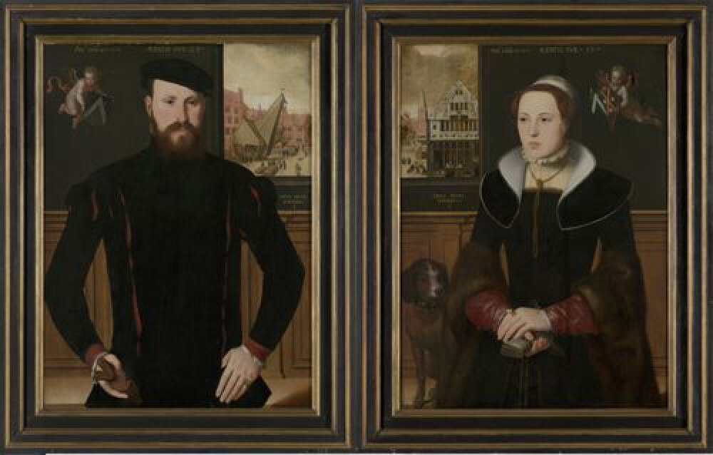
Close
Manufacturer
Jan de Hervy,Period and date
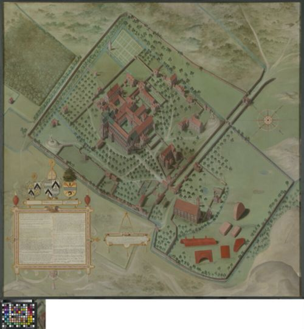
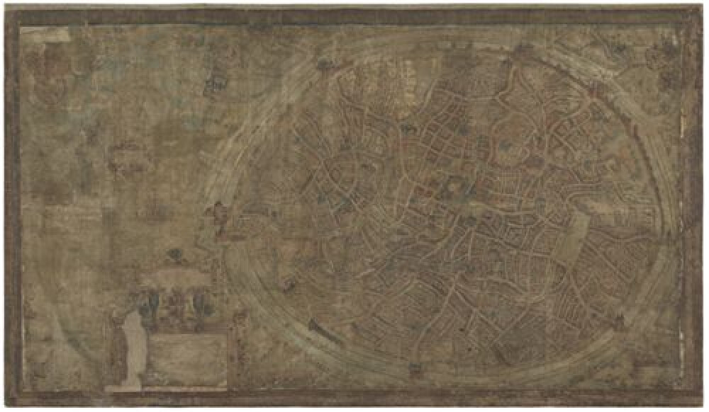
16de eeuwPainted in oil on canvas, this image of the Zwin region, located to the north and east of Bruges, is somewhere between a map and a painting. In the Middle Ages, painters regularly received requests to map an area, usually commissioned by the city magistrate, as was the case here. The city of Bruges is located at the far left edge of the image, roughly at the height of the centre. From there, the represented area extends in a diagonal direction to the northeast, as the compass roughly in the middle of the map (at the top) indicates. At the very top-right, on the former island of Walcheren, are the towns of Middelburg and Veere, at that time the northernmost part of the county of Flanders. Almost no people can be seen in the landscape, with a few exceptions, including, some, rather eerily, hanging from gallows.
MASTERPIECE
Despite its fragile condition and numerous overpaintings, this map on canvas is a remarkable and important document in the field of landscape painting and cartography. The map was also considered a legal and political instrument in discussions and is related to the digging of a canal that served as a connection between the Zwin and the Western Scheldt, to prevent the Zwin from silting up through the supply of fresh water. In 1501, the Bruges city magistrate commissioned the artist to reproduce the hydrography of the Zwin region north and east of Bruges. The emphasis is therefore on the depiction of waterways, locks, dykes and water mills, which are portrayed from a bird’s-eye perspective. This painted map should not be considered an exact representation of the area, but rather a design used for the reconstruction works in the Zwin. Jan de Hervy’s work was at the origins of the Bruges cartographic tradition, built on by Provoost, Pourbus and Pieter II Claeissens.